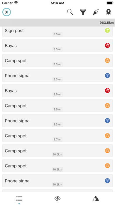
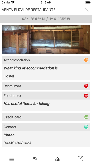
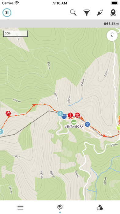
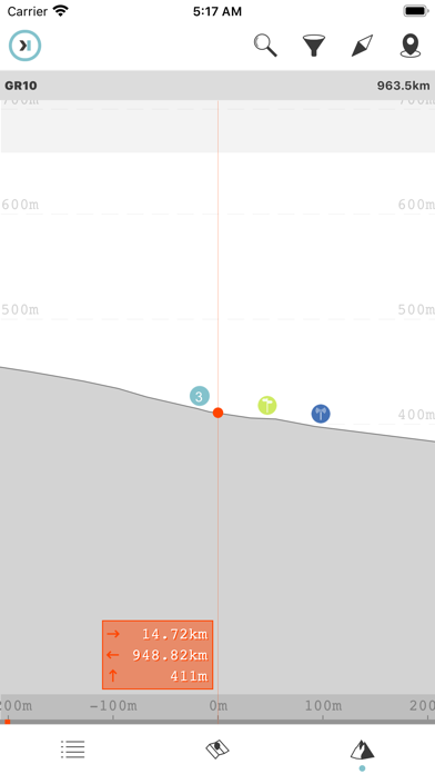
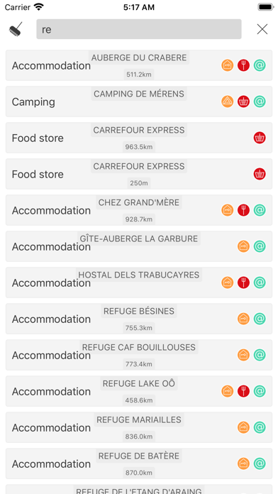
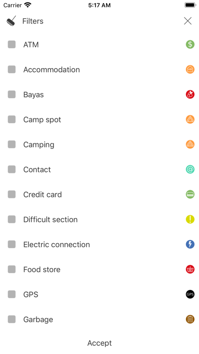
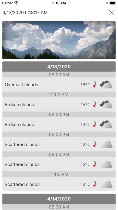
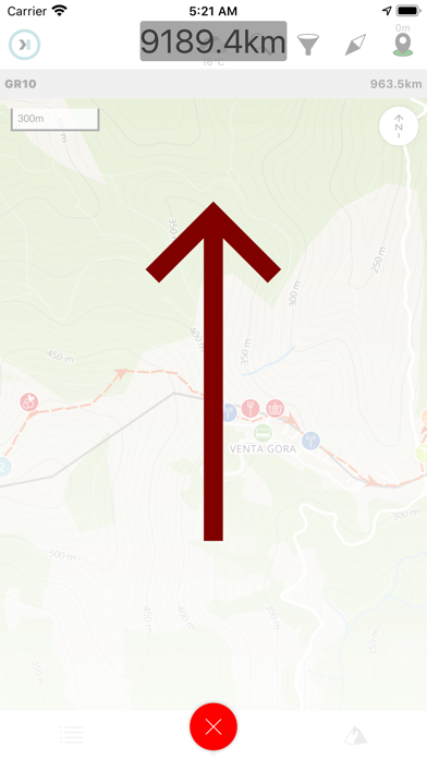
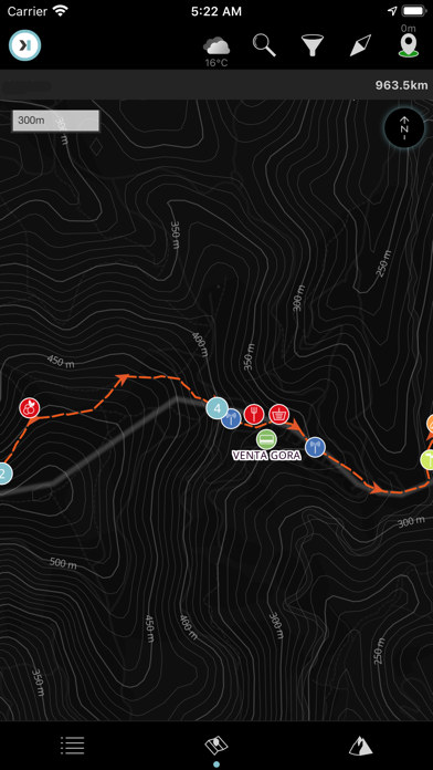
The "Haute Route" (HRA) it's a long distance trail that goes from Chamonix (France) to Zermatt (Switzerland) across several Alp valleys. The trail is well-marked and well-equipped, but it's demanding physically. If done late in the summer, can be done without crampons. You will have outstanding views of the Alps glaciers, walk through small villages and visit the two of the most known mountain towns of the Alps. "Digital Hiking Guide" is the proposal of **HIKEORAMA** as an assistant in long distance routes. It includes in a single application all the necessary information in your routes. Maps, meteorology and information of all the points that you will find along the way. All this presented in the most accessible possible way. It will allow you to position yourself on the route and will help you to take better decisions. Summary: ATM 5 Accommodation 26 Camp spot 65 Camping 9 Contact 30 Difficult section 16 Food store 25 Garbage 12 Laundry 2 Mountain pass 8 Natural shelter 6 Outfitter 9 Pharmacy 5 Phone signal 1 Picnic area 14 Post office 3 Public transport 17 Restaurant 28 Roof 17 Sign post 166 Source 61 Stealth 1 Stream 48 Summit 1 Toilet 15 Tourism office 5 Vending 1 WIFI 1